-
$2.99
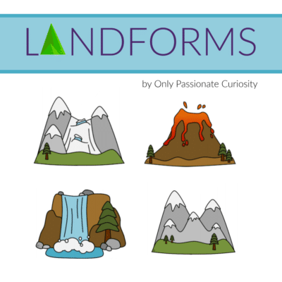
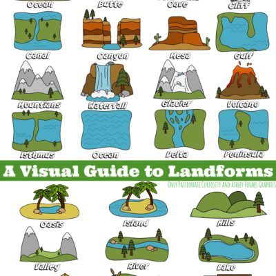
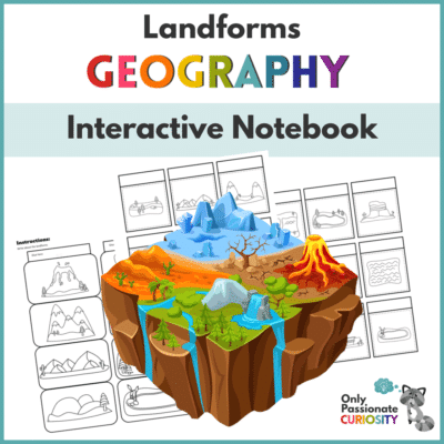
This landforms bundle is great for elementary ages! It contains 3 landforms printables that work together. Included are the Landforms Interactive Notebook Pack, Landforms Visual Guide, and Landforms Layer Book. The first 12 pages are the Landforms Interactive Notebook Pack. Use these pages to create your own lapbook about landforms. Next, you’ll find a colorful Visual Guide to Landforms page. This page can be used as a guide to help your child learn and remember the types of landforms and the name of each one. The last 6 pages can be printed, cut out, colored, and put together to make a Landforms Layer Book.
-
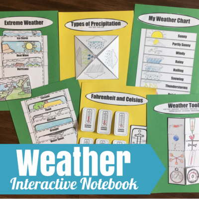
6 Interactive Notebooking pages, color and black and white versions included.
Includes:
Weather Tools
Extreme Weather
Temperature Conversions
Weather Chart
Types of Precipitation
-
$1.00
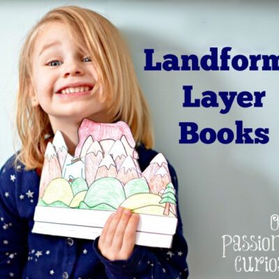
A flip/layer book with landforms for your students to color, label and review.
-
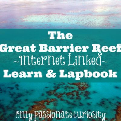
This printable is part lap book, part unit study. Every element is internet linked to websites where your child can do more research, and find the information they need to complete the lap-booking element. You can put this in a traditional folder, or do as my family does, and just glue the elements on sheets of cardstock and store in a binder as an interactive notebook.
This study covers:
The location and facts about the Great Barrier Reef
Fish that live in the coral reef
Types of coral
Shell Fish Facts
Starfish, Seahorse, Eels and Stingrays
All websites were appropriate for children as of the date of posting. Please review links before sending your child to the website.
-
-
-
Rated 5.00 out of 5
$2.00
Lapbook / Interactive Notebooking elements to teach about Landforms.
-
Rated 5.00 out of 5
$1.00
-

Use for circle time, or just to track the weather of the day!
-
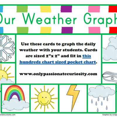
$0.00
Use this cute weather graph during your circle time!